The first long-range forecasts for winter 2026/2027 indicate a season with less snow than average across most of Europe, while the development of a strong El Niño phenomenon is expected to be one of the main factors affecting atmospheric circulation and the positioning of pressure systems. According to the models […]
Will We Have Snow? First Forecasts for Winter 2026/27
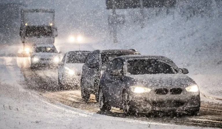
The first long-range forecasts for winter 2026/2027 indicate a season with less snow than average across most of Europe, while the development of a strong El Niño phenomenon is expected to be one of the main factors affecting atmospheric circulation and the positioning of pressure systems.
According to the long-range ECMWF and UKMO models, a strong high-pressure area over southern Europe, accompanied by lower pressure in the north, could favor the movement of milder air masses from the Atlantic toward the continent. This situation would reduce the chances of persistent snowfall, especially in low-lying areas and in the central, western and southern parts of Europe.
According to forecasts by Severe Weather Europe, November and December could be characterized by a relatively slow start to the snow season. In December, most of the continent shows signals of below-average snowfall, while more favorable conditions appear mainly in mountainous areas and northern Europe.
January and February do not bring a major change in this trend either. The models continue to signal a snow deficit across most of central, western, northwestern and southern Europe, while more snow is expected in northern and northeastern areas. February, which is usually a more favorable month for snow in many European countries, could see the largest deficit if the mild westerly circulation continues.
For the Balkans, this outlook means that milder temperatures and the lack of a persistent cold circulation could make it harder for a stable snow cover to form in low-lying areas. However, this does not mean there will be no snow at all. Long-range forecasts indicate only a tendency toward below-average amounts, while individual spells of cold weather and precipitation may occur during the winter.
In mountainous areas, particularly at higher elevations, conditions may be more favorable for snow. The models suggest that snow will be more persistent mainly in high-altitude areas and in the northernmost and northeastern regions of Europe.
However, these are very early seasonal forecasts, not a defined weather scenario. The source itself emphasizes that every winter can develop differently and that multi-year averages do not determine exactly what the season will be like in any given place.
Therefore, for Europe and the Balkans, the main signal from the first forecasts is a potentially milder winter with less snow in low-lying areas, while mountainous areas will have an advantage for snowfall and snow cover. However, atmospheric dynamics could change significantly before the start of winter, and brief spells of snow may still be possible.
Related

Curiosities
Jordan Blocks Telegram App After Deadly Church Attack to Prevent Extremism

Curiosities
Don’t Rely Only on Mileage: When Should You Change Your Engine Oil?

Curiosities
1979 Porsche 924 returns to the United Arab Emirates Police fleet

Curiosities
Restaurant in Canada bans children under 15, decision sparks debate

Curiosities
12 curiosities from around the world you shouldn’t miss

Curiosities
Why do mosquitoes prefer some people over others? The reason has been revealed

Curiosities
Father and son break Guinness record playing ‘Hungry Hungry Hippos’ blindfolded

Curiosities
Why Are Highway Direction Signs Green in Some Countries and Blue in Others?

Curiosities
What happens when there is a bomb threat on an aircraft?

Curiosities
NASA Searches for a Secret Underground Cave on the Moon

Curiosities
Wearing boxing gloves and a special costume, this dog became Halloween’s star

Curiosities
After 28 years and 50,000 kilometers, British adventurer Karl Bushby returns home